It took more than a century-and four generations of one family-to produce the first topographic map of a nation. This survey revealed the elevations of France’s mountains, valleys, and plains; the location of her cities and castles; and her great network of streams and rivers. It was immediately invaluable for reasons of national defense, commerce, and recreation.
Today, the success of any construction project depends heavily on the quality and accurancy of the preliminary topographic base map. A “topo” locates and displays all of a property’s features, natural and man-made (as-built), including buildings, roads, fences, creeks, rivers, wetlands, and elevations and contours of property. Incomplete or inaccurate base maps can result in design issues during construction, causing costly delays and additional expenses.
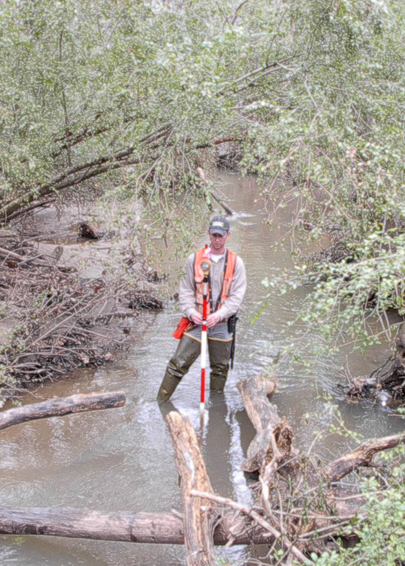
Seiler & Associates uses GPS technology and total stations to produce topographic maps significantly faster than surveyors of old. Our quality has been recognized with consecutive first place awards in the SAMSOG Annual Plat Contest.