A picture says a thousand words. The right type of picture can also produce a valuable and cost-effective land survey.
Aerial Photography, or Photogrammetry, is a less expensive, and less accurate, method of topographic surveying. The photogrammetrist relies on photographs and other environmental images taken with a special camera to create measurements for physical and 3-D maps. In the right circumstances, aerial topographic surveying can produce reliable vertical and horizontal results, especially if the area to be mapped is not heavily wooded or obscured.
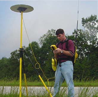
Utilizing the latest in GPS technology, Seiler & Associates has the resources to control aerial photogrammetric surveys, and coordinate the final mapping product with a certified photogrammetrist.